Students from South East European University used GIS tools to examine urban and infrastructure challenges in Tetovo. The activity, carried out as part of ChallengeEU initiatives supporting the digital and green transition, showed how spatial data can contribute to sustainable urban planning, environmental resilience and decision-making focused on local communities.
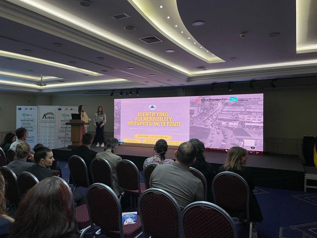
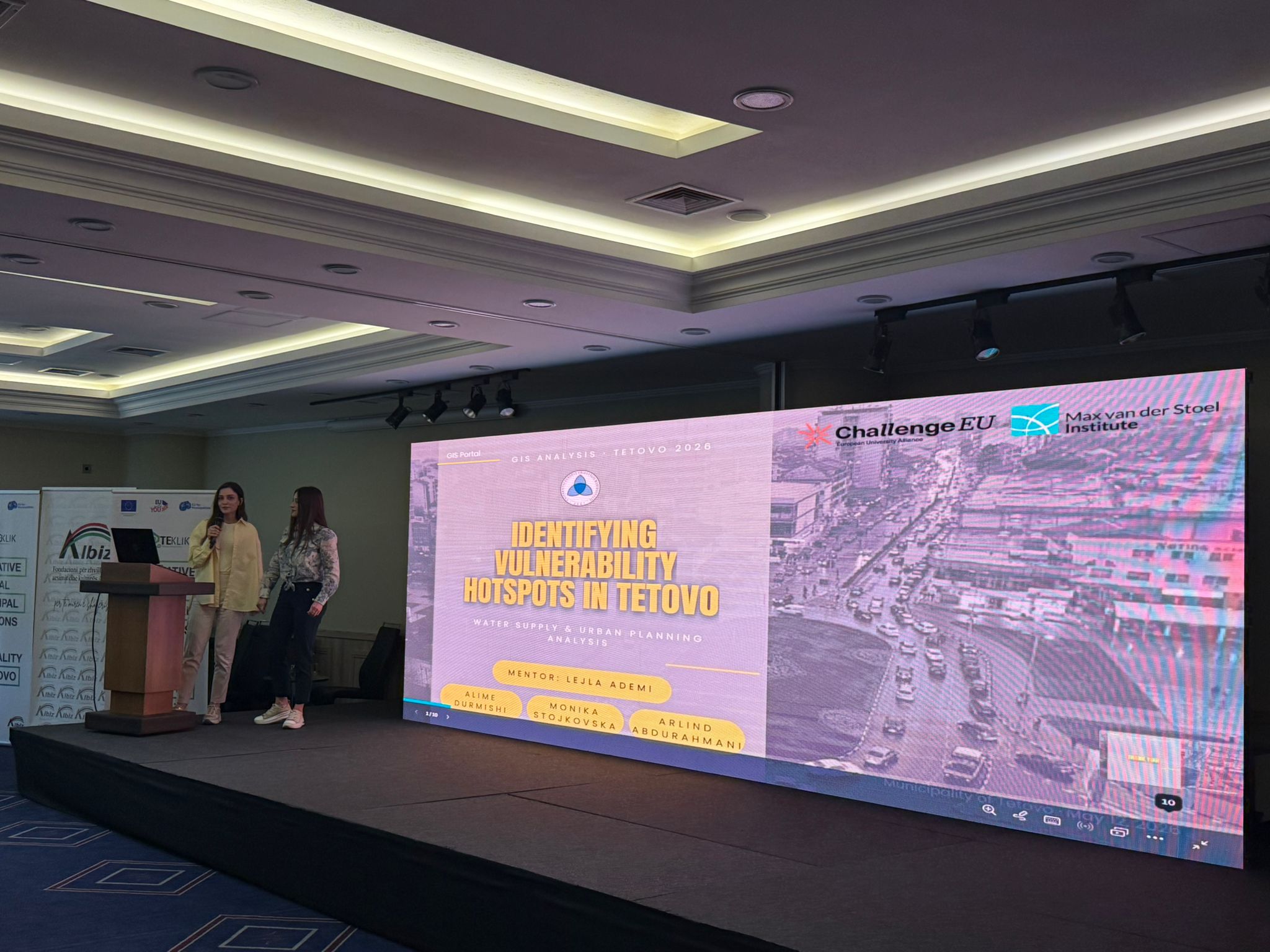
Within the framework of the digital and green transition initiatives promoted by ChallengeEU, and in collaboration with the Center for Development of the Polog Region as an Associate Partner of the ChallengeEU Alliance, students from South East European University participated in a GIS-based activity focused on identifying urban and infrastructure vulnerability hotspots in the city of Tetovo.
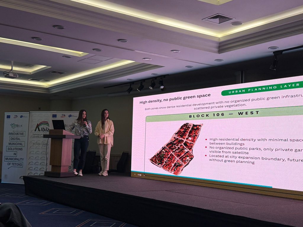
Following a GIS training session and the introduction to spatial data related to Tetovo’s urban planning and water supply infrastructure, students worked on analyzing GIS layers to identify areas with limited infrastructure coverage, lack of greenery, and spatial planning challenges, while proposing potential intervention zones based on observed spatial patterns. Under the mentorship of Lejla Ademi Shaqiri, the students Alime Durmishi, Monika Stojkovska, and Arlind Abdurahmani presented their findings and recommendations, demonstrating the potential of GIS tools and digital technologies in supporting sustainable urban planning, environmental resilience, and evidence-based local decision-making.
The initiative also reflected the broader mission of ChallengeEU: to connect universities, regional stakeholders and local communities in addressing real-life challenges. By combining academic knowledge, digital skills and regional cooperation, the activity showed how students can actively contribute to the green and digital transformation of their cities and regions.